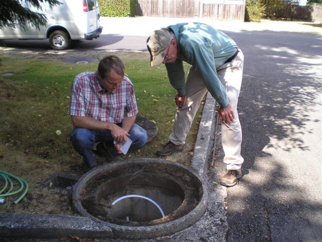
The Groundwater Mapping and Education Project began last year on a small scale and the report of that first phase is available here. The second phase will continue from Phase I by defining the location and geometry of the sand and gravel aquifers in the lower section of the Englishman River down to the estuary.
The need for groundwater information on Vancouver Island – and BC and in Canada – is crucial if we expect to protect our watersheds in light of climate change and population growth. Decisions about freshwater resources need to be made with a more complete understanding of its availability and how that is expected to change over time. This means that we have to fill in the many knowledge gaps that exist so that decisions about land-use and water extraction will not be made with incomplete information. This project will also encourage the public to learn more about their groundwater in order to protect the watershed from activities that could jeopardize its rich ecosystem.
The project is being led by groundwater expert, Dr. Gilles Wendling, Hydrogeologist, and will provide:
- Characterization of the aquifers (GIS): Vancouver Island University (VIU) will detail the interpretation of the subsurface in the ER watershed and generate detailed maps and cross-sections of interpreted aquifers and assumed water tables;
- Piezometric Assessment: Up to 20 data loggers will be installed in private wells located in aquifers to be characterized. The data loggers will record the fluctuations of the water table elevation;
- Characterization of the Surface Water Flow: Up to 10 gauging stations will be installed along the ER to collect information on surface water elevation, flow rate, and temperature. The gauges will be installed and regularly monitored by volunteers;
- Data Interpretation: With the newly collected information, GW Solutions and VIU will define a conceptual model describing where the aquifers are, how they connect to the ER, and the water flow between the aquifers and the ER.
- Public Education and Involvement: MVIHES will inform the public of the project through the local media, public presentations, displays and direct contact. It will interview local residents and seek their cooperation in voluntarily monitoring their wells. This public communication will be enhanced with the on-going public outreach conducted by MVIHES, which focuses on watershed protection and water conservation.
This project has been made possible with funding from RBC Blue Water Project, Real Estate Foundation of BC, and the Regional District of Nanaimo
