


Exciting News: Fish eggs found on the restored beach at the Nature Trust Mariner Way property
Since 2018, MVIHES has tracked forage fish spawning locations along our community beaches. The results confirm that the beaches at Craig Bay, San Pareil, Rathtrevor Provincial Park, Parksville Community Park, and French Creek Marina all provide Pacific Sand Lance (PSL) spawning sites.
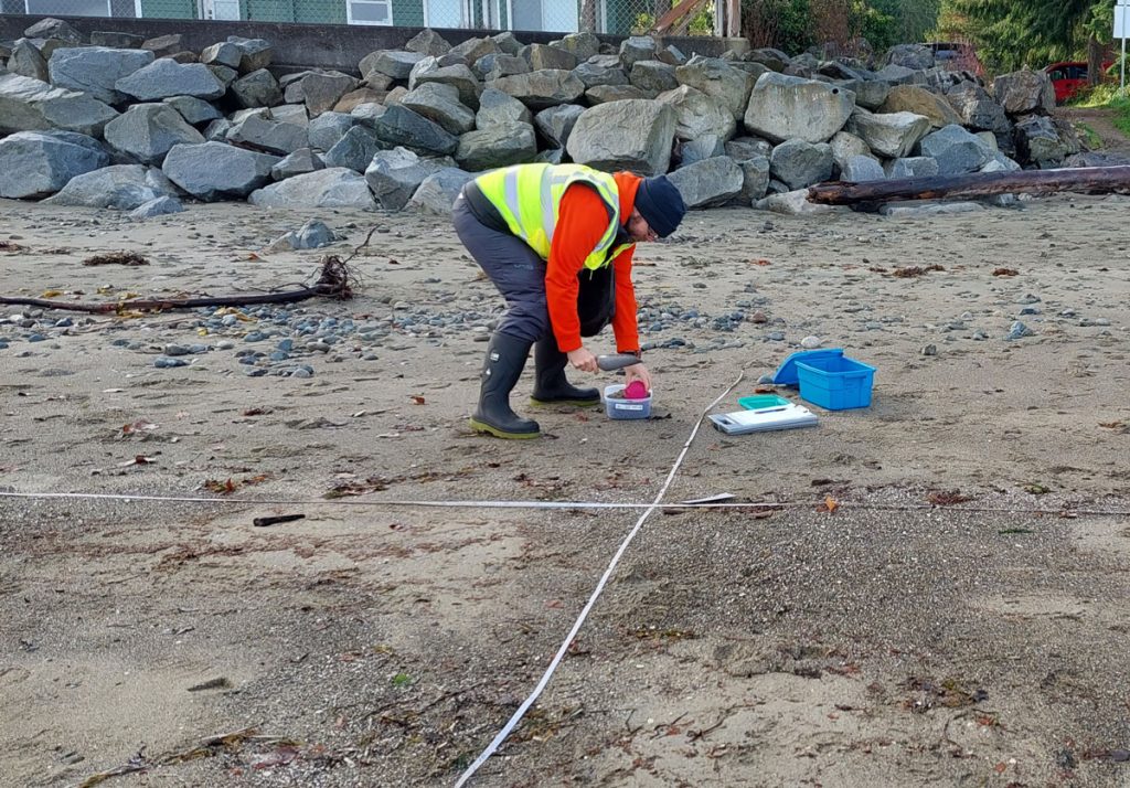
Collecting a sand sample along monitoring transect for presence of forage fish eggs in San Pareil
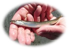
PSL is a species of forage fish – small fish that travel in large schools and are a vital food source for salmon, humpback whales, porpoises, sea lions, seals, and marine birds. The health of forage fish populations directly impacts the survival of these marine predators, making their conservation important to our mission of restoring wild Pacific salmon.
PSL lay tiny, 1mm eggs on sandy beaches within the intertidal zone—just below the high-tide line, where sand and pebbles provide ideal incubation conditions. Seawalls and rock armament along shorelines create wave actions that scour away the sand needed for spawning habitat, disrupting the life cycle for PSL.
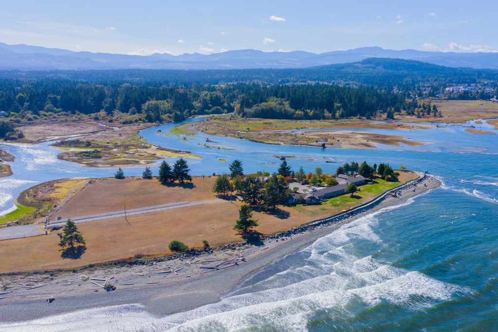
In 2021, Nature Trust BC acquired a 2.8 ha property that extended into the Kw’a’luxw (Englishman River) Estuary at the end of Mariner Way in San Pareil. The land acquisition was a critical step to re-naturalize and restore the tidal flow of the estuary and ultimately enhance the ecosystem function of the entire river.
By 2024, an extensive seawall and rock armament had been removed from the property. Changes in sand movement and deposition were quick to follow.
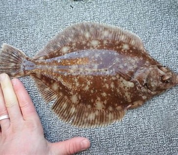
Since the property is next door to PSL spawning sites in San Pariel, we added two monitoring sites on the evolving beach at the Mariner Way property. No eggs of any fish species were found in 2024. Herring eggs that had washed ashore were in our March 2025 samples, but in November and December 2025 tiny eggs were found in our samples. It ends up the eggs are not PSL but are probably rock sole! How cool is that?
We are waiting for confirmation from experts at the Coastal Forage Fish Network that the eggs are indeed rock sole. Even if they aren’t PSL, this is good news because fish are using the restored beach to spawn
Many thanks to our forage fish monitoring partners at the Mount Arrowsmith Biosphere Region Research Institute who provide us with training, equipment, and data entry into the Pacific Salmon Foundation Marine Data Centre. And of course, our fantastic volunteers: Shelley Goertzen, Mary Campbell, Brenda Riley, Mark Hogg, Nancy Pezel, and Barb Riordan.
Learn more here: Forage Fish Habitat Protection Mid Vancouver Island Habitat Enhancement Society
Gently Down the Stream
Meanwhile, our Community Flow Monitors have been busy collecting streamflow measurements on Nanoose Creek for the BC Conservation Foundation’s Community Flow Monitoring Network. Nanoose Creek is one of ten waterways being monitored by the network to fill gaps in provincial databases and measure effects of land use on stream flows, especially during critical low flow periods.
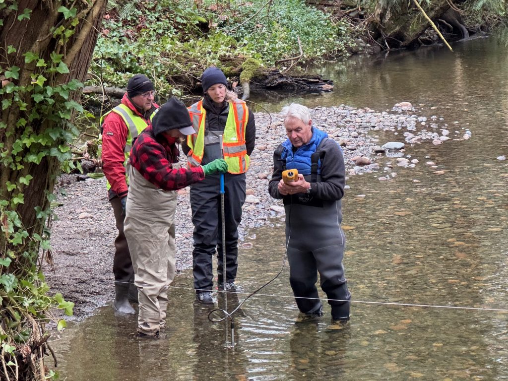
Photo by Maggie Estok, MVIHES Community Flow Monitor
Volunteers Shelley Goertzen (holding flow tracker), Dick Dobler (holding keypad/software unit) and Denis Coté (waiting his turn) collect flow measurements while Ally Wall from BCCF scrutinizes their technique to ensure high quality and defensible data are collected.
Flow monitoring, or hydrometrics, is a complex science that involves a lot of effort and precision. Interpretation of the data is an art all on to itself. Many thanks to our team and BCCF for taking on this important challenge for Nanoose Creek.
And Now, What You’ve All Been Waiting For…..
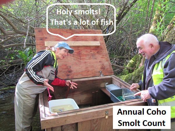
We will be installing our smolt trap soon to count the Coho Salmon smolts migrating out of Shelly Creek into the Englishman River on their way to the ocean.
Dust off you chest waders and wellies and get ready to roll. Volunteer signup coming out soon.
To learn what it’s all about read one of our smolt trap reports here.