2 more sites for our Forage Fish Monitors
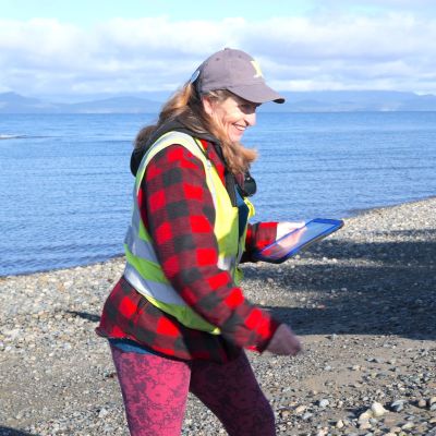
Our forage fish volunteers recently added 2 more sites to their list of 11 sites for monitoring Forage Fish Spawning Habitat. Our monitoring sites include beaches from Craig Bay to Yambury Rd in French Creek. The 2 new sites are on the restored beach of the Nature Trust property on Mariner Way in the Kw’a’luxw (Englishman River) Estuary. Exciting, eh?
The forage fish program is run by the great folks at Mount Arrowsmith Biosphere Region Research Institute (MABRRI) who provide us with training, equipment, and sampling results.
MVIHES Volunteer and Project Leader, Shelley Goertzen, is seen in the photo to the left.
Forage fish are small fish that travel in large schools and are a food source, or ‘forage', for larger fish and marine mammals. Forage fish, including Pacific herring, Pacific sand lance and surf smelt form the cornerstone of marine food webs. They play an important role in the diets of salmon, humpback whales, porpoises, sea lions, seals, and marine birds.
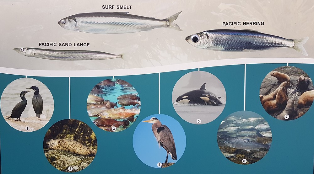
While herring lay eggs 1 to 1.4 mm in size on kelp and eel grass, surf smelt and Pacific sand lance lay tiny eggs (1mm) on pebble and sand beaches just below the high-tide line - an area called the intertidal zone. It’s the surf smelt and sand lance spawning habitat we are monitoring, although we’ve only ever found sand lance eggs. Surf smelt are found further south.
Every month since 2018, MVIHES volunteers haven been visiting beaches at low tide to map spawning sites and collect habitat data along with sand samples to see if they contain eggs. Samples are collected from plots set up in the intertidal zone of established monitoring sites. The photos below show volunteers in action.
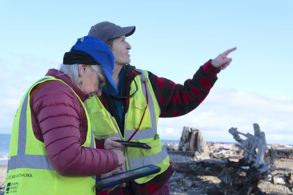
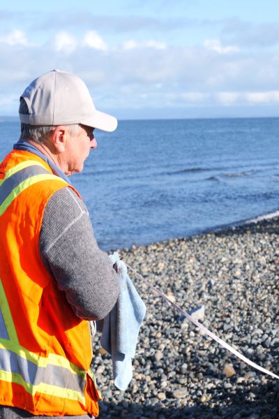
Mark Hogg lays out a sample plot with a measuring tape Mary Campbell enters habitat data digitally into a pad (what a tech savvy group!)
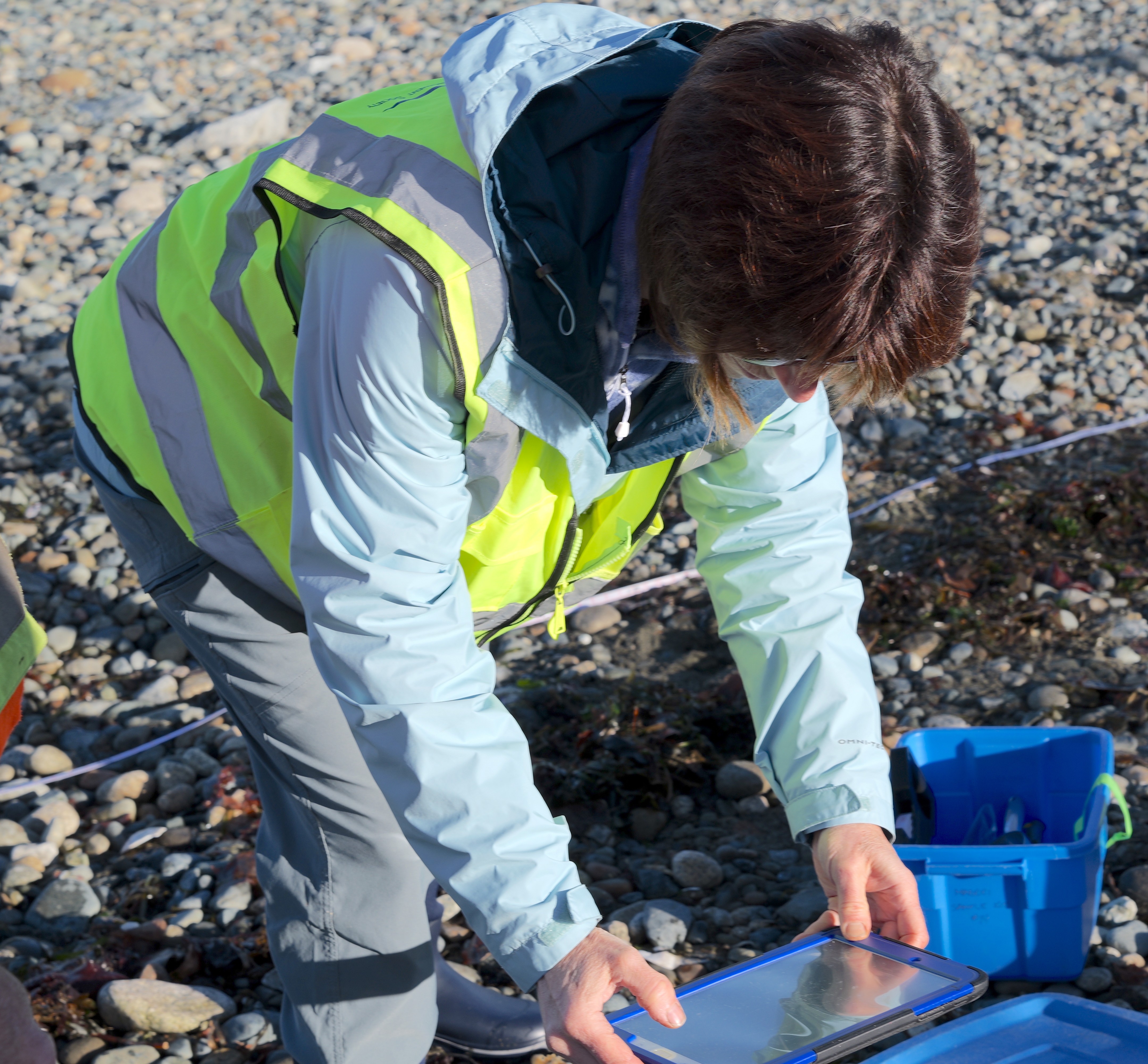
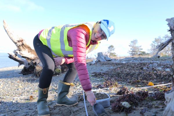
Nanzy Pezel collects more habitat data Mary Campbell collects a sand sample
Samples are sieved and "vortexed" to sort out the right sized sand grains on which forage fish eggs are attached. The sorted sand from each site is checked under a microscope by MABRRI for the presence of eggs and embryos. Once eggs have been identified by MABRRI, they are sent to experts in Washington State for confirmation.
So, why are we monitoring and mapping forage fish spawning habitat? One of MABRRI's project objectives is to submit data into the Pacific Salmon Foundation Marine Data Centre, allowing data availability to inform policy change. For example, the Department of Fisheries and Oceans has "timing windows" which are periods when it is safe to conduct work on shorelines without damaging fish and fish habitat. The winter timing window for fish is December 1 to February 15. Our data shows that the sand lance spawning season extends into December and January when it is assumed safe for shoreline disturbance.
Last month, MABRRI reported the following sites contained suspected sand lance eggs:
Parksville Community Park Site 2
San Pareil Site 2
San Pareil Site 3
San Pareil Site 4
French Creek Marina
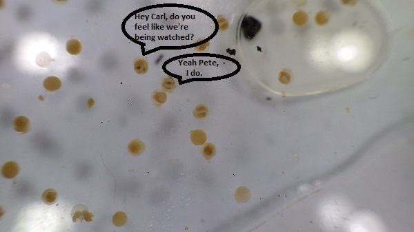
No, these do not include the 2 new sites but don't be disheartened. We're sure sand lance eggs will eventually show up in our samples from the newly restored beach habitat. Below is a photo of a view of eggsthrough a microscope
Many thanks to our partners at MABRRI and our Forage Fish volunteers: Brenda Riley, Catherine Watson, Gene Gapsis, Majory McFadyen, Mark Hogg, Mary Campbell, Nancy Pezel, Pat Ashton, Shelley Goertzen and Sue Wilson.